

A snowfall warning is in effect for the Cochrane area and roads could become treacherous.
John Paul Cragg, Warning Preparedness Meteorologist for Environment Canada, shares snow will begin this morning with a possibility of freezing rain. "It looks like with this particular system the potential for freezing rain starts everything out and then afterwards we are looking at periods of snow beginning in the morning with snowfall around 10 to 15 centimetres in the Cochrane area by the time everything starts to wrap up today late in the afternoon."
But today is not the only day we could see snowfall. "There is potential for another area of snow to move into the Cochrane area tomorrow night into Saturday with potentially another five centimetres falling with that system as well, so together you could be seeing as much as 15 to 20 centimetres of snow by the time everything wraps up by the end of Saturday."
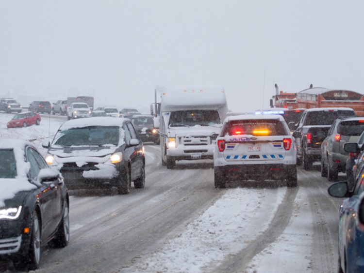
With the combination of freezing rain and snow, the probability of poor driving conditions is high. "We are looking at temperatures getting close to zero but if temperatures stay below zero the freezing rain that falls on the ground could become covered with snow which would make driving conditions even more slick than just with the snowfall on its own. With a heavy snowfall on top of the potential of freezing rain, you could see pretty poor driving conditions throughout the day and into the weekend."
Cragg shares there has been a lot of snow this season in the Cochrane area and unfortunately, this is no exception. "Another snow fall late in the season when we should be seeing snow starting to melt."
The good news is Cochranites should see reprieve as we move into next week. "It does look more positive, it looks like temperatures will start to increase a little bit starting on Sunday and continuing into next week. Once the snow stops falling on Saturday...Sunday, Monday and Tuesday look fairly nice with the sun coming out and warm conditions."


 Sat, Apr 13, 7:00 PM
 Full-time, Hourly, Permanent, Labour, Professionals, Skilled Trades